The Ultimate GPS Tracking & Training System
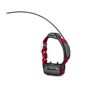
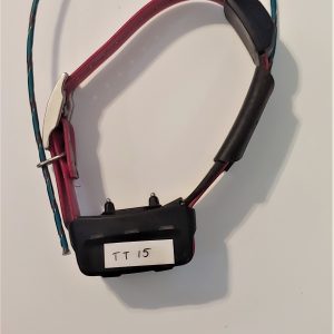
The Garmin Alpha 200 handheld delivers the speed, range, and reliability serious dog hunters demand in the field. Designed to track and train your entire pack from a single device, the Alpha 200 is the gold standard in GPS dog tracking technology, and Native Dog Supply is proud to stand behind it.
Why the Garmin Alpha 200 Stands Apart
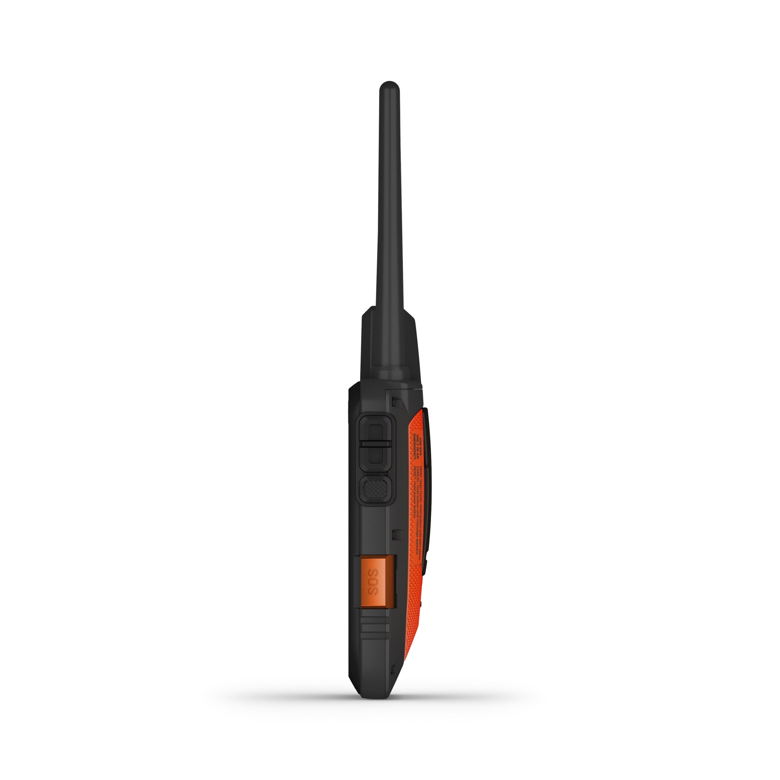
Any honest Garmin Alpha 200 review will tell you the same thing: nothing else on the market matches its combination of range, precision, and ease of use. With the ability to monitor up to 20 dogs at distances of up to 9 miles, the Garmin Alpha 200 range gives you confidence to let your dogs work without losing sight of their position. A fast 2.5-second update rate means you’re seeing near real-time movement, not yesterday’s news.
Key Garmin Alpha 200 features include:
- Pro View Compass for at-a-glance direction and distance to each dog, with Treed and OnPoint alerts
- Hunt Metrics tracking daily patterns, distance, and speed to monitor performance and prevent overheating
- Multi-GNSS support (GPS + Galileo) for superior accuracy in heavy cover and remote terrain
- 18 levels of stimulation plus tone and vibration commands for flexible, dog-specific training
Built for All-Day Hunts
The Alpha 200 isn’t just powerful, it’s built to last from dawn to dark and beyond:
- 20-hour replaceable battery so you never cut a hunt short
- Sunlight-readable 3.5″ touchscreen that works even with gloves on
- Preloaded TopoActive maps with public land boundaries, plus BirdsEye Satellite Imagery via Wi-Fi
- MicroSD slot for additional mapping like HuntView and TOPO U.S. 24K
Worth Every Dollar
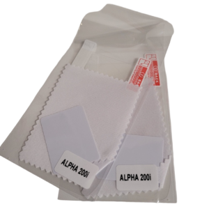
At the Garmin Alpha 200 price of $599.99, this handheld is a serious investment that pays off hunt after hunt. Pair it with compatible Garmin dog collars and the Garmin Explore™ app to unlock real-time tracking, saved dog tracks, and full hunt replay; everything you need to run your pack smarter.
Shop the Garmin Alpha 200 at Native Dog Supply and experience the difference quality equipment makes in the field!